SkyCues Satellite and Aerial Imagery Enhancement
Enhancing any satellite and aerial imagery by 400%
using specially-trained cutting-edge machine learning models.
POST your GeoTIFF or PNG image to https://skycues.com/v2/enhance to get the
enhanced image.
Without an API key, you can only enhance images for non-commercial use, up to 500x500 pixels and once per minute.
Contact us to get an API key for commercial use, larger images and unlimited requests.
For example, using cURL
curl -X POST "https://skycues.com/v2/enhance" \
    -H "Authorization: Bearer <API key>" \
    -H "Content-Type: image/tiff" \
    --data-binary "@<input png or GeoTIFF file>" \
    -o <output file path>
The World, up-to-date and archive, at sub-1m
Samples
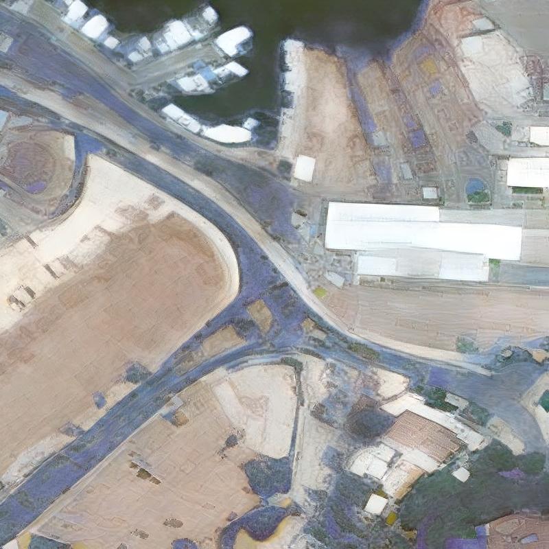
- Aerial 15cm
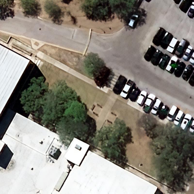
- Aerial 30cm
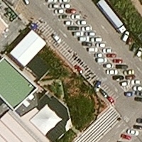
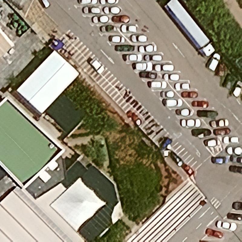
- BJ3A 50cm
- BlackSky 1m
- FormSat-5 2m
- GaoFen-1 2m
- GaoFen-2 80cm
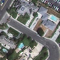
- GeoEye-1 40cm
- GeoSat-2 75cm
- Jilin-1 50cm
- KazeoSat-1 1m
- KompSat-2 1m
- KompSat-3 70cm
- KompSat-3a 40cm
- OVS-3 90cm
- PlanetScope 3m
- Pleiades Neo 30cm
- Pleiades-1 50cm
- Satellogic 1m
- SkySat 50cm
- Spot 1.5m
- SuperView NEO-1 30cm
- SuperView-1 50cm
- SuperView-2 40cm
- TripleSat 80cm
- WorldView-2 50cm
- WorldView-4 30cm

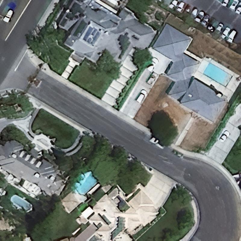
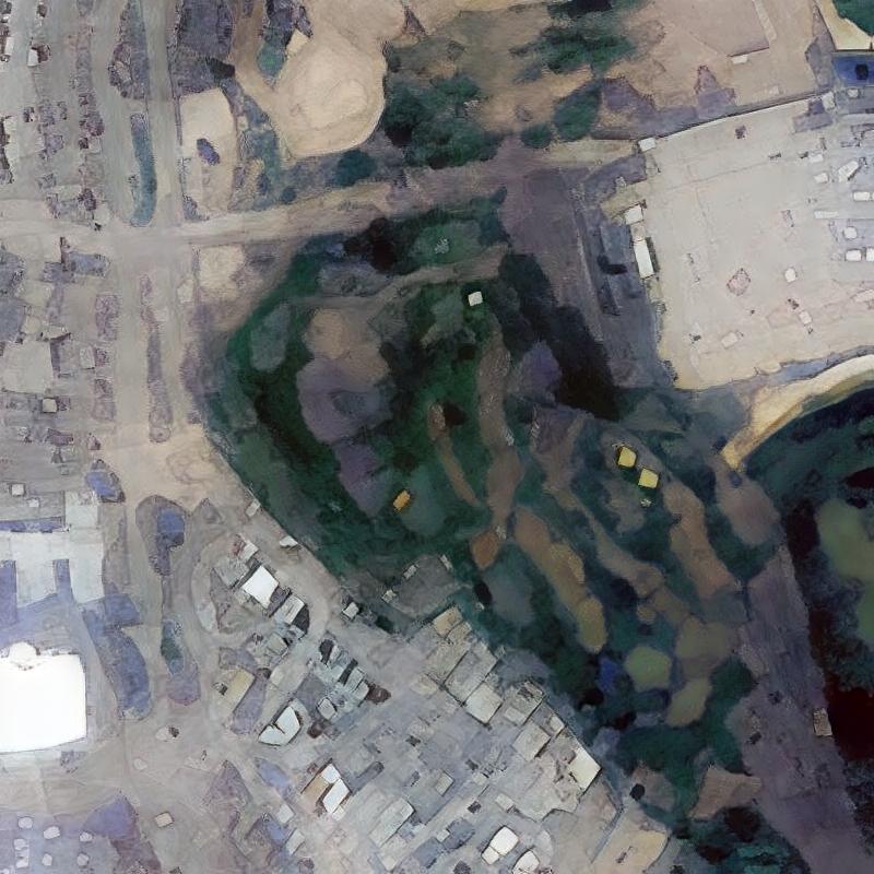
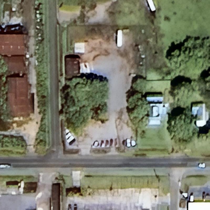
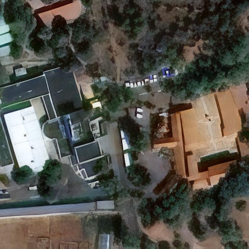
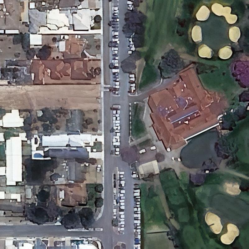
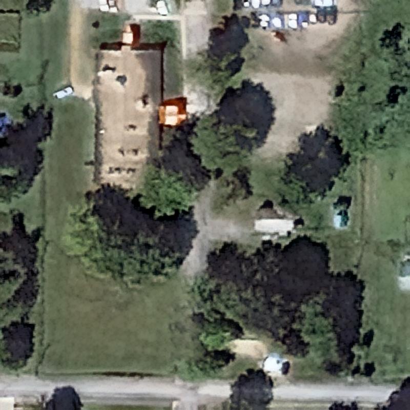
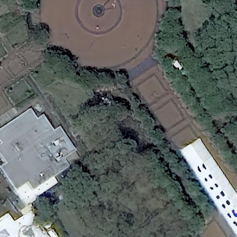
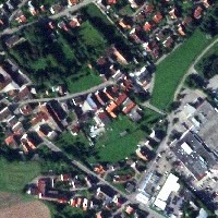
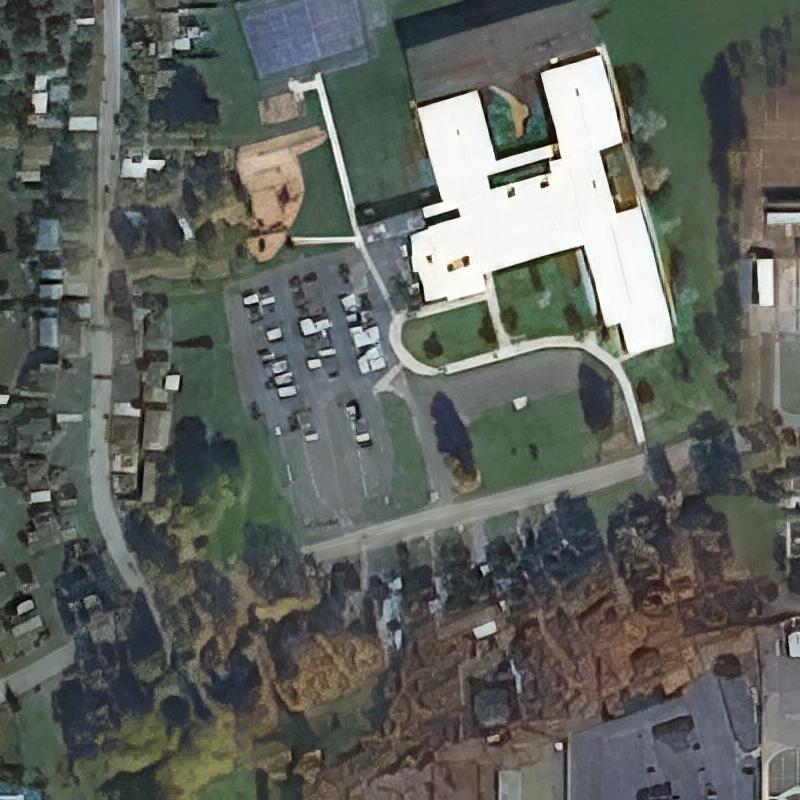
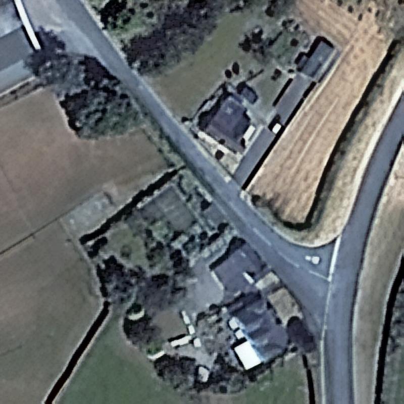
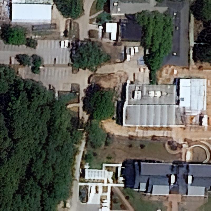
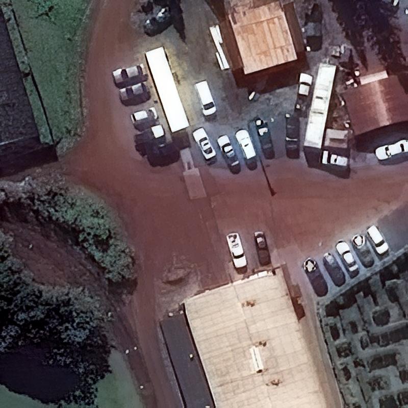
Aerial 15cm
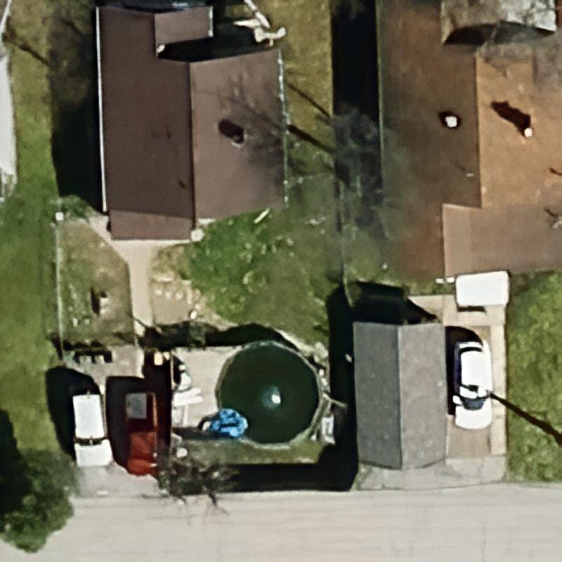
SkyCues
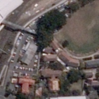
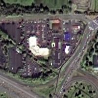
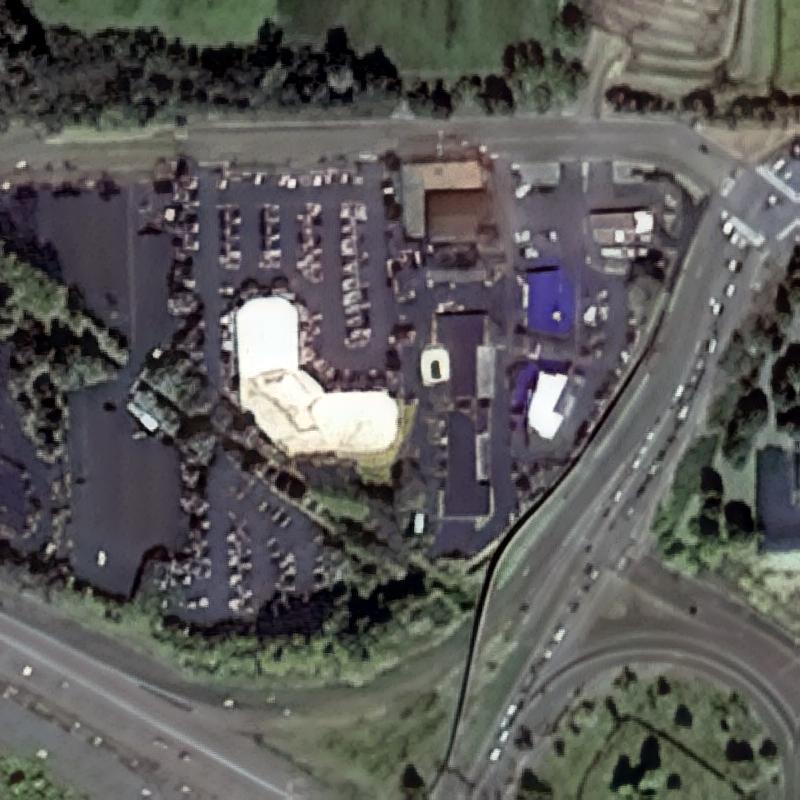
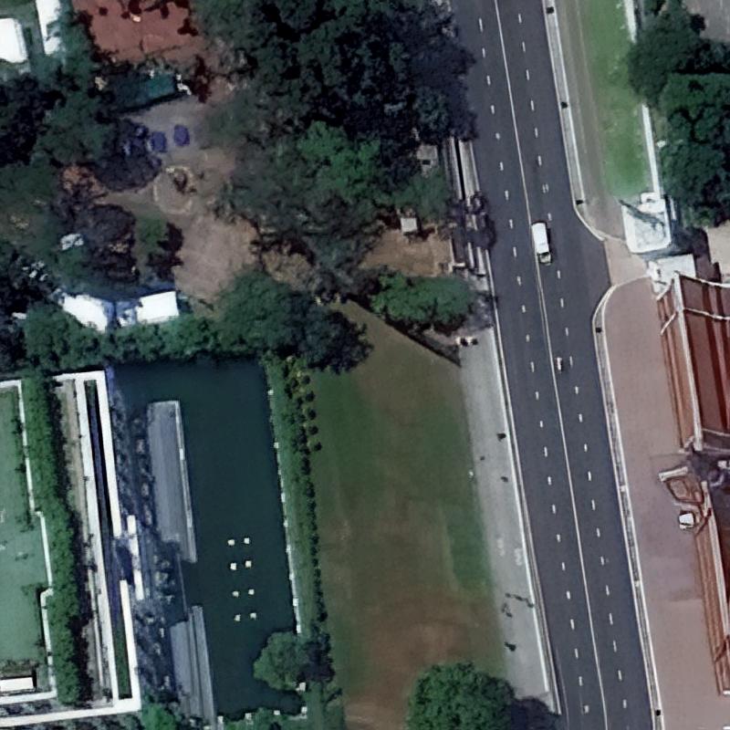
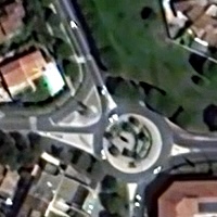
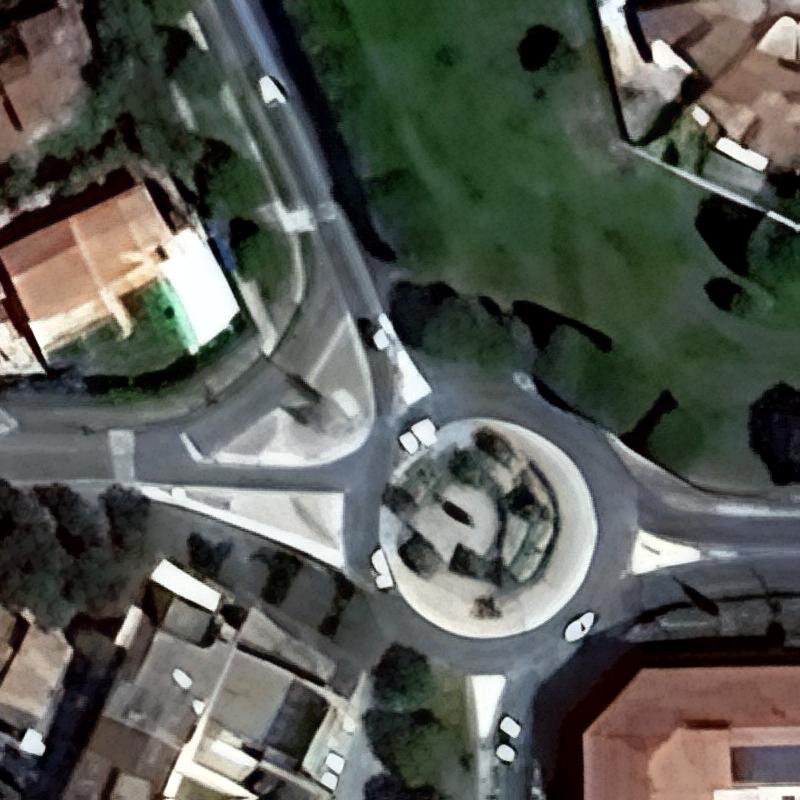
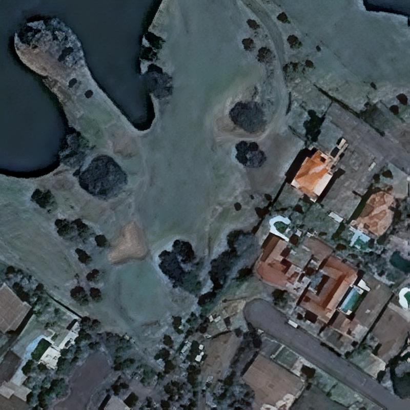
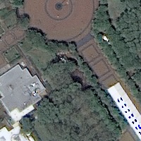
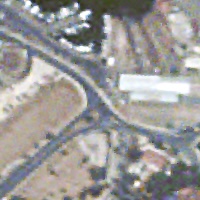
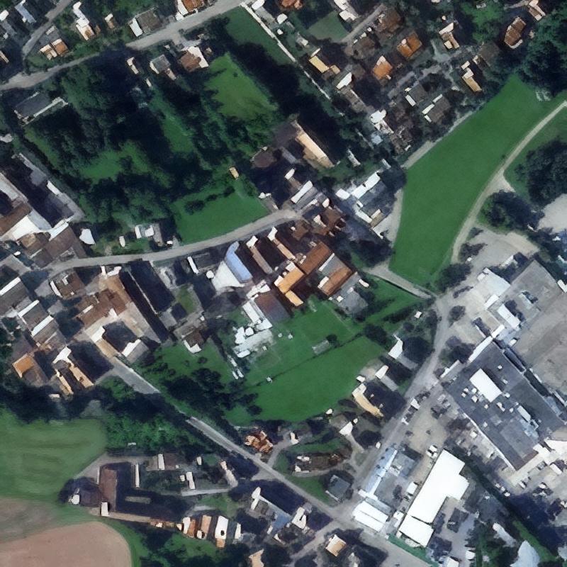
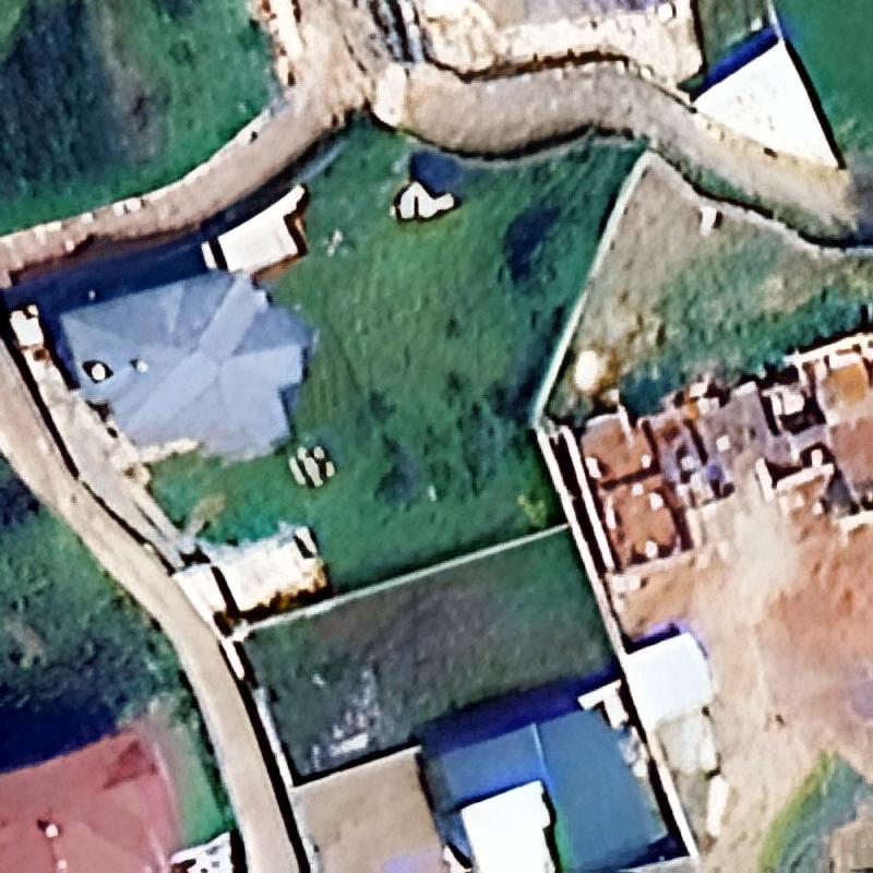
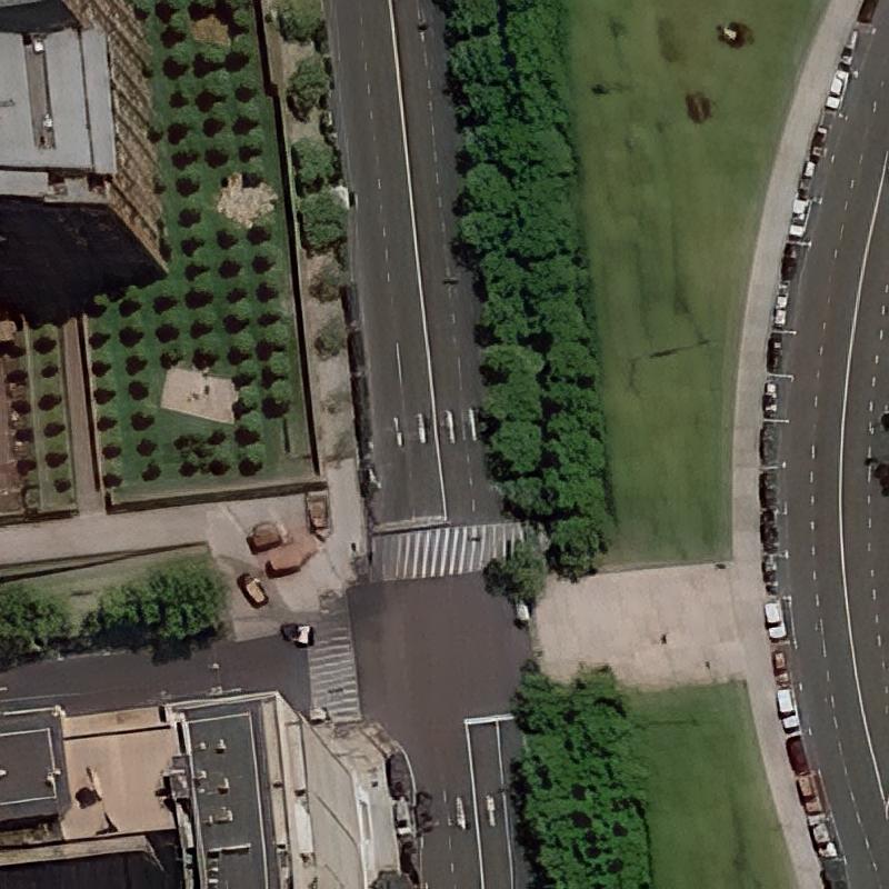
Aerial 30cm
SkyCues
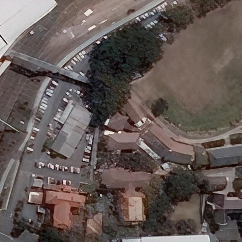
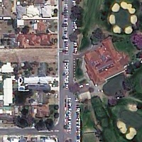
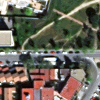
BJ3A 50cm
SkyCues
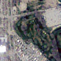
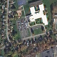
BlackSky 1m
SkyCues
FormSat-5 2m
SkyCues
GaoFen-1 2m
SkyCues
GaoFen-2 80cm
SkyCues
GeoEye-1 40cm
SkyCues
GeoSat-2 75cm
SkyCues
Jilin-1 50cm
SkyCues
KazeoSat-1 1m
SkyCues
KompSat-2 1m
SkyCues
KompSat-3 70cm
SkyCues
KompSat-3a 40cm
SkyCues
OVS-3 90cm
SkyCues

PlanetScope 3m

SkyCues

Pleiades Neo 30cm
SkyCues
Pleiades-1 50cm
SkyCues
Satellogic 1m
SkyCues
SkySat 50cm

SkyCues
Spot 1.5m
SkyCues
SuperView NEO-1 30cm
SkyCues
SuperView-1 50cm
SkyCues
SuperView-2 40cm
SkyCues
TripleSat 80cm
SkyCues
WorldView-2 50cm
SkyCues
WorldView-4 30cm
SkyCues